New Publication - North Atlantic right whale density surface model for the US Atlantic
Posted on March 22, 2024
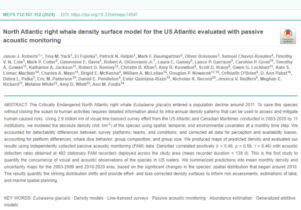
The U.S. Navy has been a primary funder to the Duke University Marine Geospatial Ecology Lab (MGEL) for development of habitat-based marine mammal spatial density models for over a decade. This newest model update presents the latest North Atlantic right whale density surface model used by NOAA Fisheries and others to inform management actions. It uses significantly more data on when and where North Atlantic right whales are present along the U.S. East Coast and parts of Canada, better accounts for uncertainty in model parameters, and for the first time includes passive acoustic detections of right whales in addition to visual sighting data for the species. The model was developed at Duke University and was first published in 2016. It has been updated several times since then. NOAA Fisheries has used it to assess and mitigate risks from activities such as trap and pot fishing, vessel traffic, naval testing and training and offshore energy activities. This research also supports NOAA Fisheries’ overarching North Atlantic Right Whale Road to Recovery, which describes our efforts to address threats to the species and monitor recovery progress. In addition to funding for development of the model, both visual and passive acoustic data from the Navy's marine species monitoring program have been contributed to the analysis.


